The power of maps and how we represent the Arctics

A fieldtrip story from Kalaallit Nunaat

By Birgitte Rigtrup-Lindemann, Doctoral Candidate at Nord University, together with Helena Gonzales Lindberg, senior researcher at Nordland Research Institute

Looking at the maps covering the walls of my colleague’s office I notice a round map showing the Arctics and my eyes are caught by the huge country Kalaallit Nunaat centred in the middle of it, all showing off her massive amount of ice.
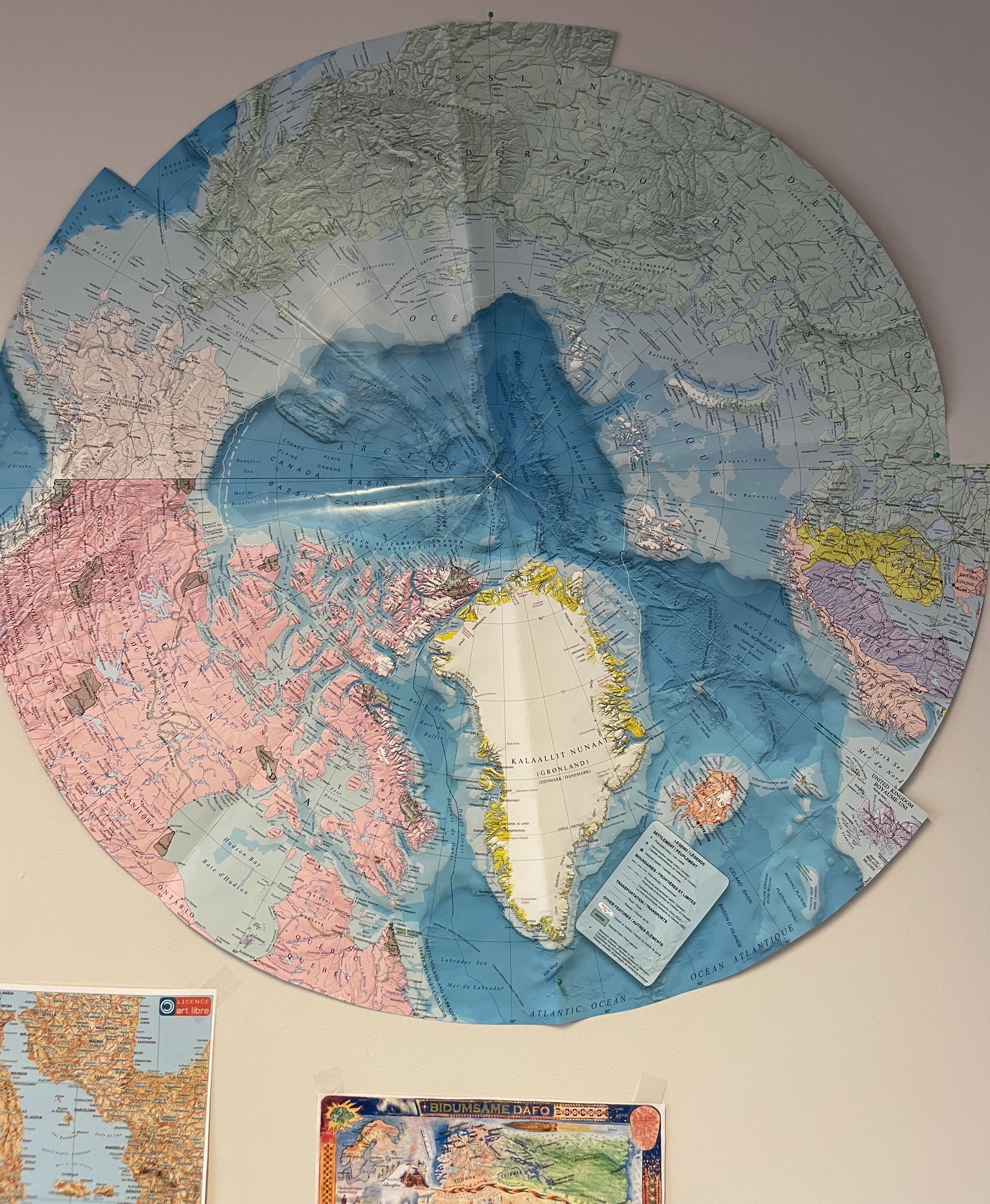
Photo of the map(s) in Helena’s office. Photo: B. Rigtrup-Lindemann

It is only few days before I am off to start my first of several fieldstrips to the exact same great land of Kalaallit Nunaat. By coincidence and because of a common interest in maps I am invited in by the dedicated map enthusiast and co-researcher Helena Gonzales Lindberg to have a chat about maps, the arctic and Kalaallit Nunaat.

Unlike Helena, who grew up in Norway, I am from Denmark and had my primary education in a public school in Denmark in the 1990’s. Looking at the eye-catching representation of Kalaallit Nunaat in the middle of the map, from the viewpoint in an office in Sápmi, I remember how I was presented with a very different map when growing up, where Kalaallit Nunaat was presented together with Denmark.

I specifically remember how the big school maps commonly showed Kalaallit Nunaat located in a tiny bottom corner of the map, massively reduced in size to fit the frame. Of course, we’ve been taught how maps have a difficulty in representing actual sizes of continents and islands on a 2D surface. Although, I theoretically knew that Kalaallit Nunaat was much larger than shown on the school maps, I always imagined the big, iced country as being a little smaller than southern Sweden.
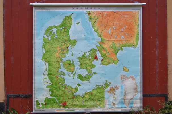
Typical school from a public school in Denmark during the 90’s showing the Kingdom of Denmark. Source: www.antikvitet.net

Talking to Helena about my memories we came to discuss how the representation of Kalaallit Nunaat would be in its own country, having in mind their colonial history with Denmark. What maps would I find in public spaces in Nuuk and Maniitsoq? How would Kalaallit Nunaat be represented in maps at public schools, at museums, in tourist shops or at the university?

And how would Kalaallit Nunaat be placed in maps as a part of the Arctic?

I sat out on a mission to look for maps of the great country in its own land.

…………………………………

One month after – safely returned from a month at the western coast of Kalaallit Nunaat, I look at the maps I found during my stay.

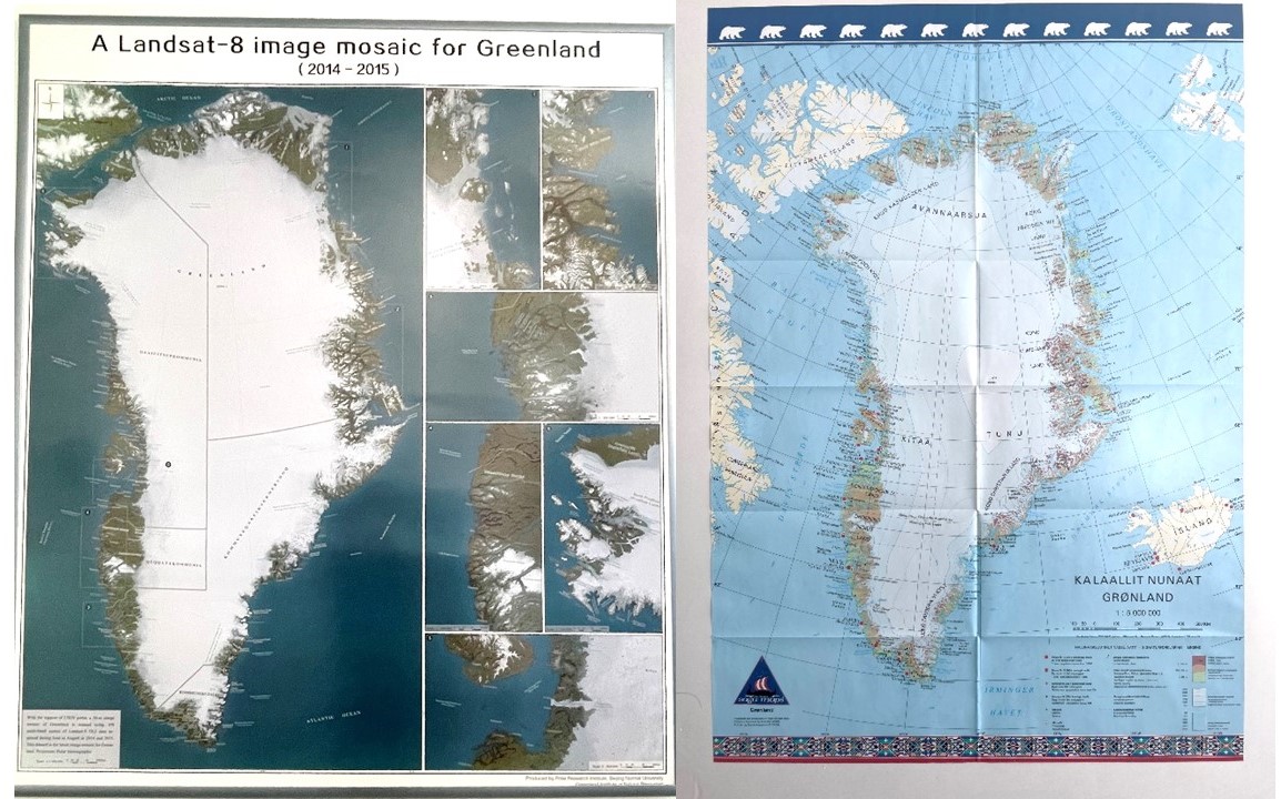
With me I have posters and postcards showing maps from 1737 drawn by Danish/Norwegian colonisers, historical maps from 1888 and new maps from 2018. Also, I have pictures of maps I found on my way; maps produced by Saga maps or by Polar research institute in Beijing. And I wonder: What can we read from these maps?

Of all the maps I found, I found no maps using only Kalaallisut (Greenlandic) as the language to name all the places on the maps. All maps are either in Danish, Danish/Kalaallisut or English/Danish/Kalaallisut. Remarkably interesting are the place names used on the maps where names of the places are referring to names or places from outside of Kalaallit Nunaat. Often it is names referring to Denmark: “Kong Christian d. IX’s land”, “Kronprins Frederiks Land” or “Knud Rasmussens land” but also names like: “Liverpools kyst” or “Washingtons Land”.

Looking at the maps, they tell me a story of powerrelations and they tell me a story about power relations in a context of time and history. They tell me a story about colonialism.
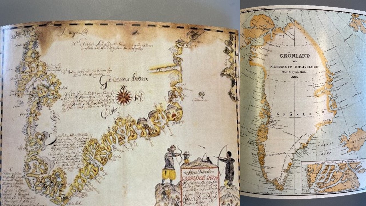
Postcards of historical maps produced by Sagamaps.com. Photo: B. Rigtrup-Lindemann
Pictures from maps found in public places in Maniitsoq and Nuuk. Photo: B. Rigtrup-Lindemann

Back in the office in Bodø, my colleague and always dedicated map enthusiast Helena shows me another map she found while I was away. In this map, the artists Inuk Silis Høegh and Asmund Havsteen-Mikkelsen show Denmark as being colonised by Greenlandic-Inuit as well as the Arctic climate. This map twists the story and places names of important figures in Greenlandic history onto ice-covered Danish islands and peninsulas. I find this map a great example of how art can give us new critical insights, awaken curiosity, and inspire other ways of thinking about Kalaallit Nunaat and the Arctic.
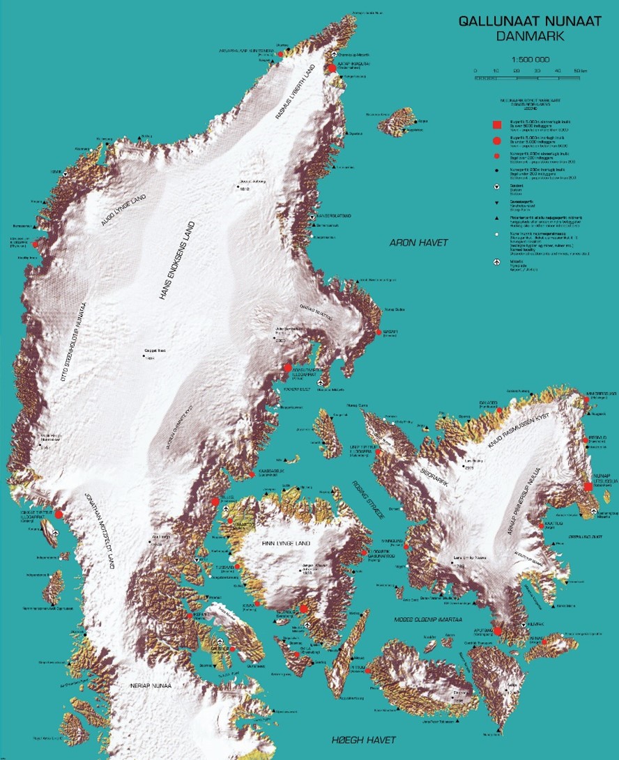
Maps are not objective representations of the world. They contribute to shape our understanding of the places that are on the map, both in the way they are shown, such as the chosen map projection, use of colours, signs, and place names, but, importantly, also in what they do not show.

My mission to look for maps in public spaces during my fieldwork in Kalaallit Nunaat gave me an important insight in the way Kalaallit Nunaat is represented to the world and how it is and has been placed in a historical power relation. This insight calls for reflections that I can take with me into my continuously PhD-journey.
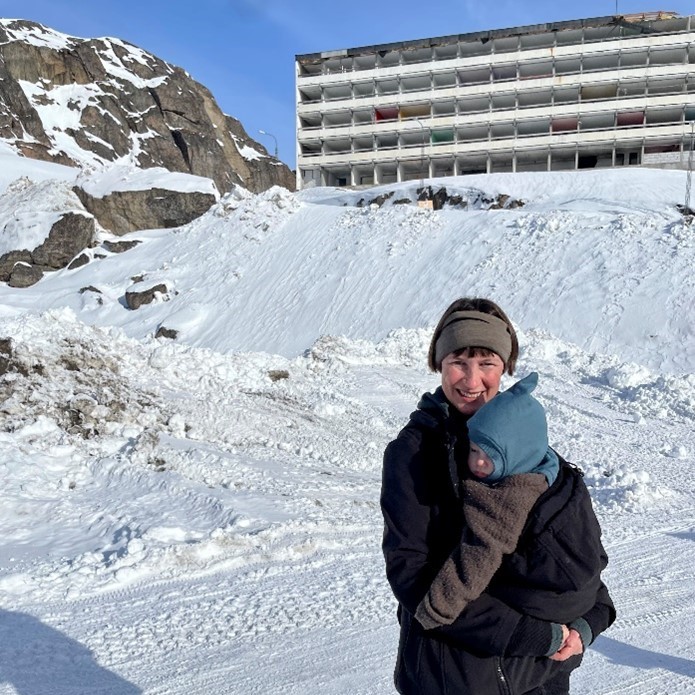
Birgitte and her son Cleo in search for homes in Maniitsoq. Photo: Lærke Rigtrup-Lindemann

Birgitte Rigtrup-Lindemann  is a PhD Fellow at Nord University’s Research division for Sociology, Research Methods and Philosophy of Science. She is currently conducting fieldwork as a part of the project INDHOME (Indigenous Homemaking as Survivance) where she is looking at homemaking practices as cultural survivance among Inuit-Greenlanders living in and outside of Kalaallit Nunaat. Birgitte is inspired by feminist methodology together with queer, post-colonial and indigenous theories.

Helena Gonzales Lindberg is a senior researcher at Nordland Research Institute in Bodø, Norway, working on a wide range of research topics related to the Arctic region. She wrote her PhD thesis about the constitutive power of maps in the Arctic (Lund University 2019). Helena is constantly curious about the ways that maps affect our thinking about places in the world, “others” as well as ourselves.
Co-production of knowledge for sustainable tourism communities

By Julia Olsen, Associate Professor, Nord University,
with contributions from Hin Heemstra (Nord University), Carina Ren
(Aalborg University), and Ulrika Persson-Fischier (Uppsala University)

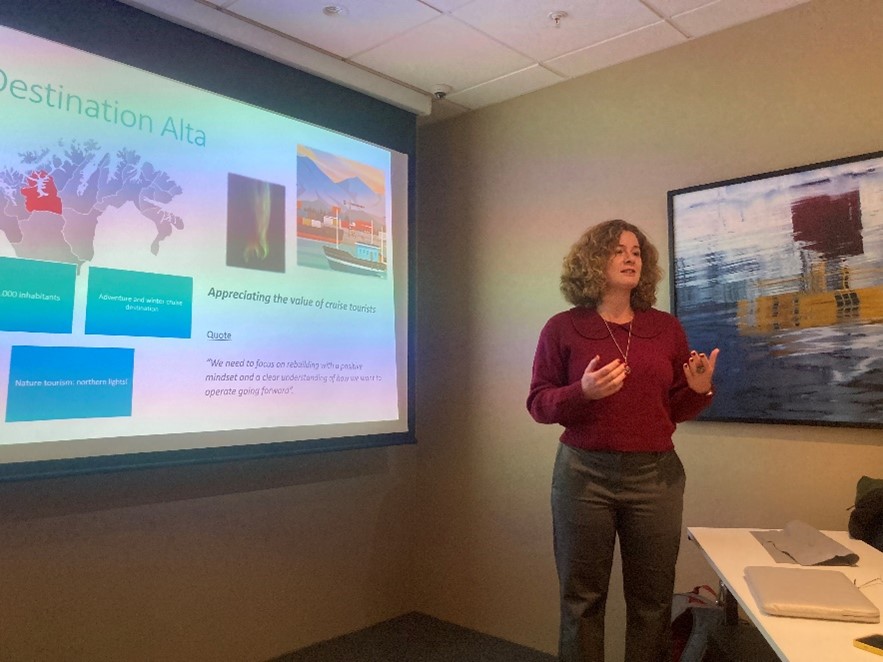
Many destinations in the Arctic are experiencing dramatic growth in the number of vessels and cruise passengers. The current trends indicate that cruise tourism is expected to keep increasing and exploring new destinations. We have examined how the Arctic communities learn to co-exist and address challenges and opportunities of this growth. We prioritize open dialogue with the communities and acknowledges the value of local knowledge, aiming to co-produce knowledge that can guide governance strategies for cruise tourism in the Arctic.

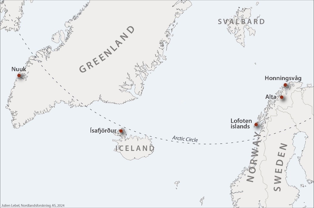
How do we account for the voices and knowledges of local populations and stakeholders, who first and foremost are exposed to the impacts from the cruise tourism industry? This question has been brought up several times during the work in the research project “Sustainable Arctic cruise communities: From practice to governance”. The project group has conducted a multiple case study investigation to understanding cruise practices in Norwegian, Greenlandic, and Icelandic communities shown in the map below.

Knowledge co-production, knowledge exchange, and social learning are emerging approaches aimed at ensuring that locally generated knowledge is acknowledged and relevant for decision-makers and tourism stakeholders. Increasing use of knowledge co-production facilitates meaningful engagement between researches and social actors and lead to democratization of knowledge that in turn lead to communities´ empowerment. An argument for this type of method development for sustainable tourism is that more conventional approaches risk being confined to the academic ivory tower rather than benefiting communities. To simply handing over reports of results at the end of a research project do not facilitate and support communities in what to do with the results. To overcome these challenges tourism research is now trying out co-production approaches that emphasize the importance of interactions both before and during the project process.

In applying this approach, we have identified several community-based practices that help to adopt and manage cruise development at the case destinations. These are: 1) governing the cruise traffic through a set of guidelines and regulations; 2) investing in new facilities and infrastructure to facilitate growth; 3) networking practices to facilitate better interaction and join responses between the relevant stakeholders; 4) building local competence and expertise for the personnel working with cruise passengers; and 5) innovating tourism products and services.

Project leader Hin Heemstra discusses project results with local stakeholders in Lofoten. Photo: Julia Olsen

Despite the many advantages of co-production, there are also challenges. This relates to the necessity for continuing discussions on the sustainability of cruise development with the local communities and stakeholders even after the completion of the project. However, this is easier said than done, as researchers often go in and out of communities, merely producing a snapshot of knowledge. In addition, the researchers often cannot return to the case communities (especially after the project ends) to continue building social capital and trust. We have tried to overcome some of these challenges by being clear about our intensions vis-a-vis the communities, keeping a transparent dialogue with the communities, acknowledging the limited period of engagements, and share the possible project outcomes and opportunities (and limitations) for future cooperation.

The project will be finalised before the Summer 2024. You can read more about our project here:
Sustainable Arctic Cruise Communities – From practice to governance (nord.no)

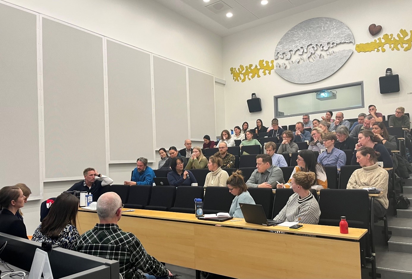
Community meeting and seminar in Nuuk, Kalaallit Nunaat/Greenland, November 2023. Photo: Carina Ren

Julia Olsen is an associate professor in environmental sociology at Nord University. Her primary research areas are socio-economic adaptation to multiple changes in the Arctic, ocean sustainability, marine litter, shipping and tourism development in the High North. She is also the coordinator of the Arctic research group at Nord.

Bird of the Century and science communication

By Charlotte Gehrke, PhD student, Nord University, about her time as a visiting researcher in New Zealand

In November 2023, I had the unique opportunity to join the annual conference of the Science Communication Association of New Zealand (SCANZ) in Aotearoa’s capital city Wellington. At the time, I was a visiting researcher at the Pūtaiao ki te Pāpori School of Science in Society at the Te Herenga Waka Victoria University of Wellington.

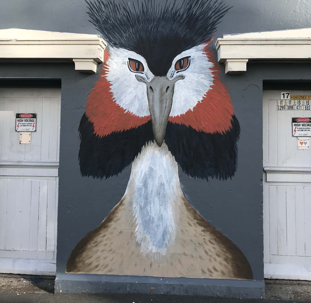
Mural of a pūteketeke. Photo by C. Gehrke

I had initially planned to simply attend the SCANZ conference to learn more about the science communication community in New Zealand as part of my research stay. However, after mentioning my interests in new and out-of-the-box approaches to science communication during morning tea at the School of Science in Society, I quickly found myself included in the conference programme. In addition to joining a panel on generative AI applications for science communication, I ended up giving a lightning talk about my research on science communication on late-night television.

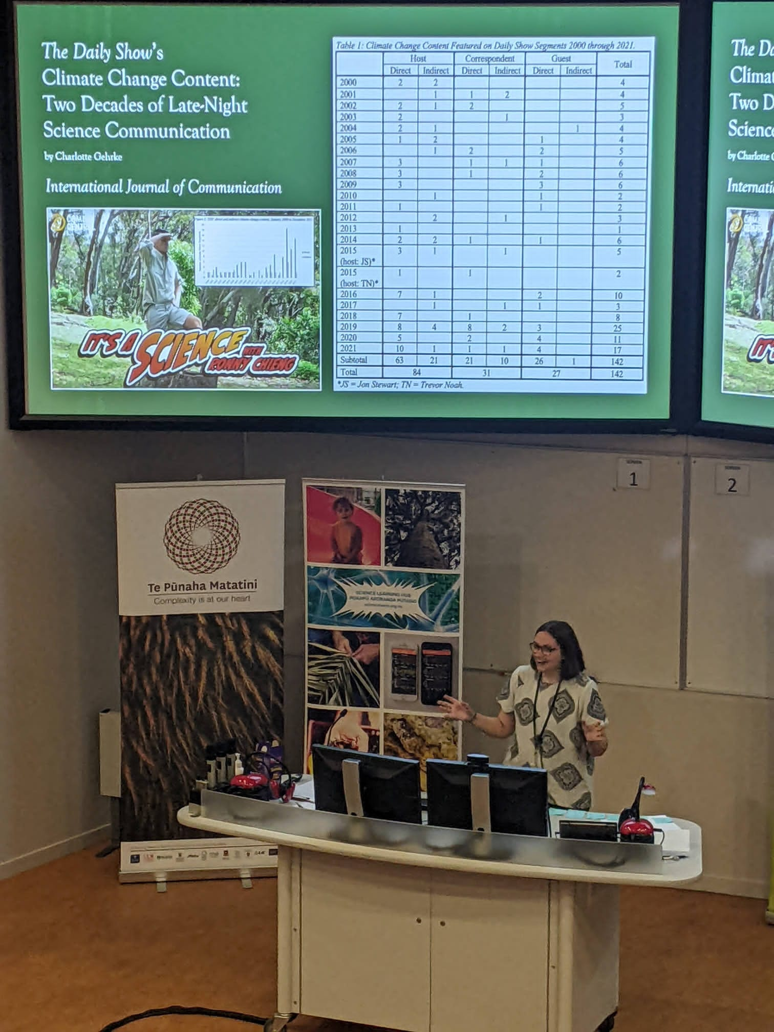
While I had initially planned to present a paper entitled The Daily Show’s Climate Change Content: Two Decades of Late-Night Science Communication, my plans were thwarted when a foreign election interference scandal rocked New Zealand. To be precise, I am not referring to the 2023 general election but rather what many described to me in a bit of tongue-in-cheek humor as the “more important” election of the year: Bird of the Century. The latter is a competition run by the conservation organization Forest & Bird, which also runs the annual Bird of the Year competition, in an effort to raise funds and awareness for (avian) conservation issues.

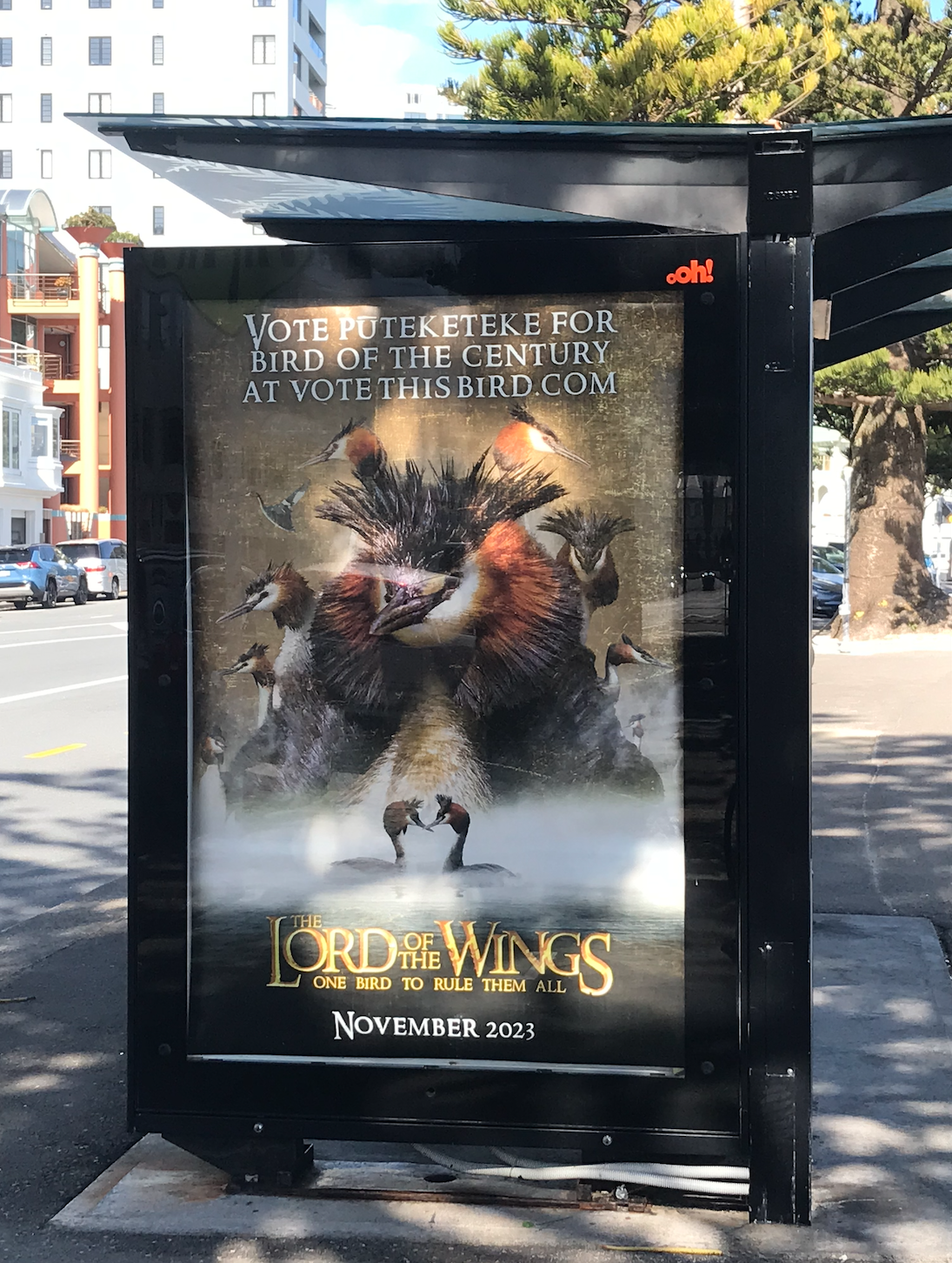
“Lord of the Wings” poster. Photo by C. Gehrke.

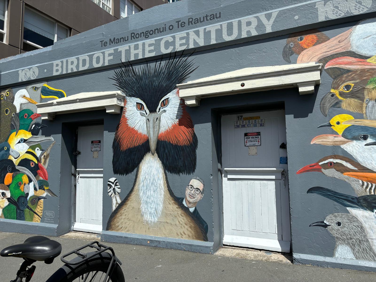
A few weeks before my presentation at SCANZ, the American late-night show Last Week Tonight with John Oliver decided to join the competition in which groups of passionate conservationists can lobby and campaign for their preferred Bird of the Year or Century. Specifically, Last Week Tonight started a global campaign for the pūteketeke to be crowned Bird of the Century. The pūteketeke, also known as the Australasian crested grebe, can be found in Australia and New Zealand where it is considered nationally vulnerable.

Oliver’s show often features hard-hitting yet humorous pieces about a wide range of topics, and the Bird of the Century campaign is not Oliver’s first foray into avian activism, with the host previously covering the hot topic of duck-themed stamps. While this might just sound like yet another late-night segment or PR campaign, something comedy and communication scholars might dismiss as so-called slacktivism, it is important to stress the real-life impacts of Last Week Tonight’s pūteketeke campaign.

Updated mural, including John Oliver. Photo by Geniesa Tay

In my lightning talk, I did just that, highlighting not only the impacts of Oliver’s pūteketeke segments on the (inter)national conversation surrounding the Bird of the Century competition, but also the show’s massive impact on voting, and, perhaps even more importantly, donations. While some have criticized Oliver’s involvement as “fowl play,” the competition organizers repeatedly expressed their appreciation for the pūteketeke campaign. A member of Forest and Bird came up to me after my presentation to confirm the positive impact of Last Week Tonight’s involvement in Bird of the Century.

Flagship species and competitions, like the pūteketeke and Bird of the Year or Century, can facilitate and support environmental protection efforts around the globe. In my doctoral research, I explore how polar flagship species – polar bears, seals, walruses, whales, etc. – and the environmental issues they face are discussed by scientists, journalists, policymakers, and more.

Charlotte’s lightning talk at Bird of the Century. Photo by Jessica Rohde

Charlotte Gehrke is a PhD Fellow at Nord University’s Research Division for History, Geography, and International Relations. She also co-created and manages the Arctic Relations blog.

Chasing maps: Remarks from fieldwork on water

by Virga Popovaitė PhD student in sociology at Nord University

While inquiring how maps are used by Norwegian rescue services, I have observed various operating rooms where responders use maps. This blog post is adapted from my notes onboard a rescue boat in Northern Norway. With it, I want to emphasise the extent of settings and more-than-human interactions that following maps can lead to. It illustrates how such interactions materialise something that might not be instantly visible.

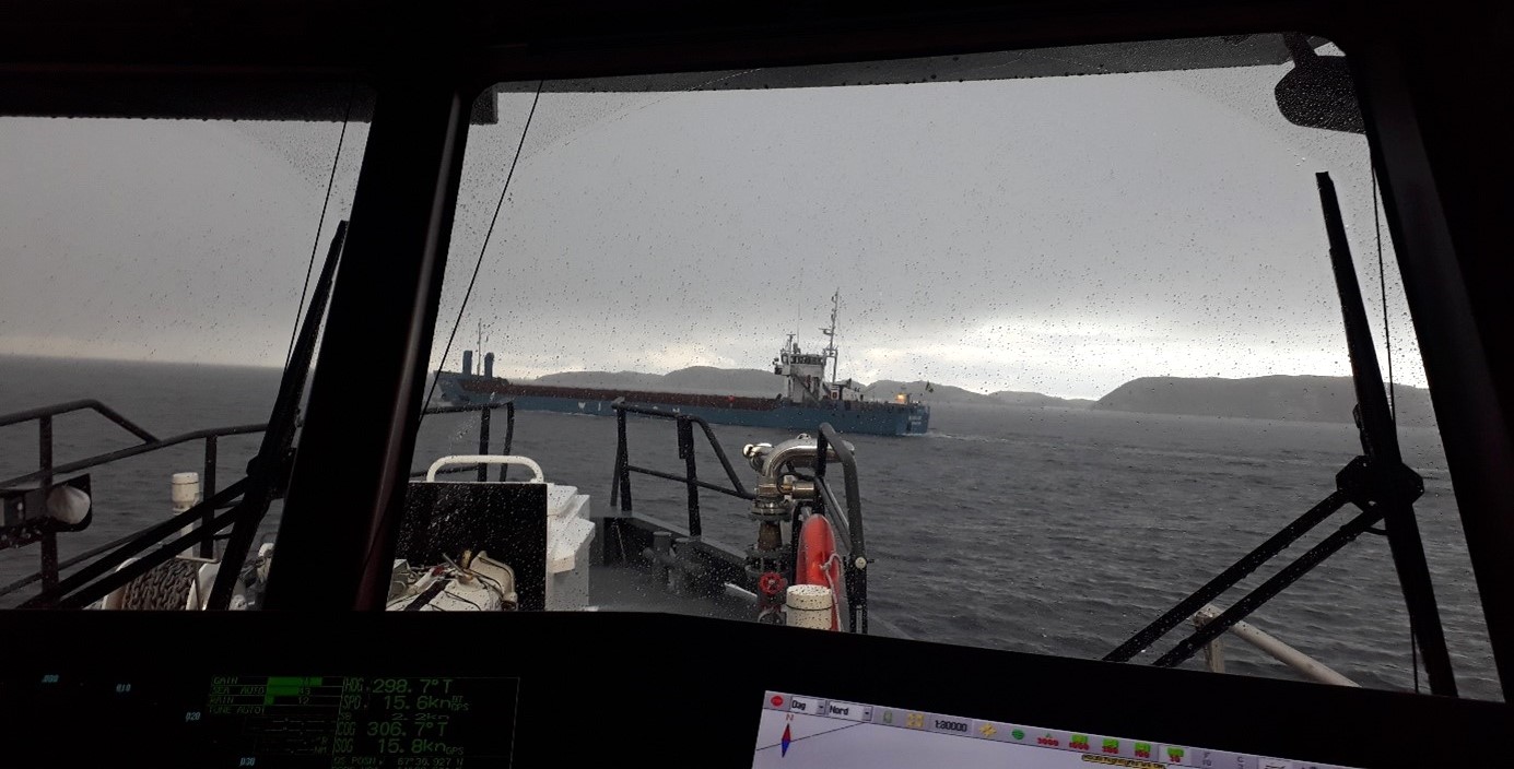
Approaching the location to pick up another vessel’s pilot. Photo: V. Popovaitė

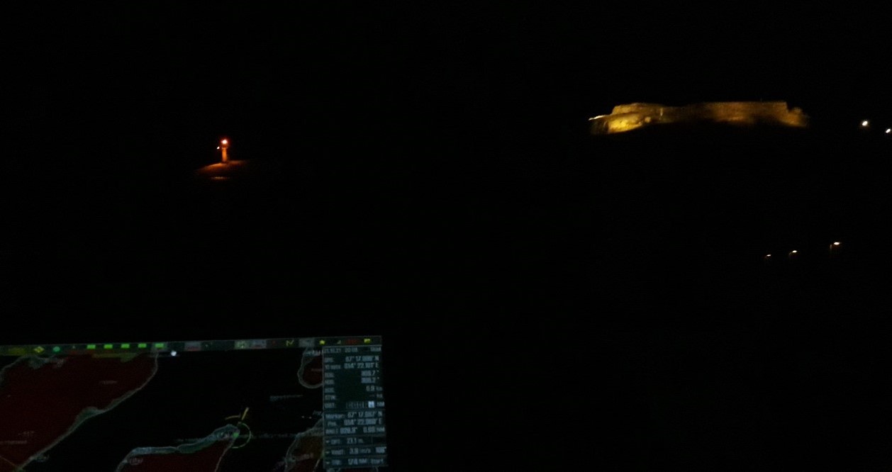
… The engine was on, the lights were switched off, and the boat was unleashed: We were ready. Apart from the lights from the port, it was not so bright on the rescue cutter’s bridge. The main light source was a dim red lightbulb above the captain’s seat, with everything else set on the night mode, not to interfere with sensibility to light. While slowly passing other vessels in the port, the captain explained the intricacies of navigating at night, which is based on light and colour coding – an old system of lighthouse, buoys, and other navigational aids.

The layout of the vessel’s bridge outlined the roles of the team members. The main navigator sat in the middle, having a good oversight of the windows and four computer displays slightly turned towards them. The displays were modified so the person sitting on the right could edit necessary information. The machine officer responsible for the engine had their own set of screens, visibly turned straight to their chair, thus parting the space from others.

With the port behind us, the view outside was slowly changing. On the right side, the last lights of the town were replaced by faint silhouettes of snowy mountain tops, glooming in the dark. As we entered a patch of open sea, the waves got rougher and bigger, even though the wind was pretty mild in comparison to a storm which had just passed. The boat was rocking to all sides. With every stronger toss, I would lose sight of the map. While the darkness outside hid the waves from one’s vision, I felt their presence through my tightened muscles. Their appearance materialised on the radar, with larger waves leaving their footsteps on the display as lightened spots.

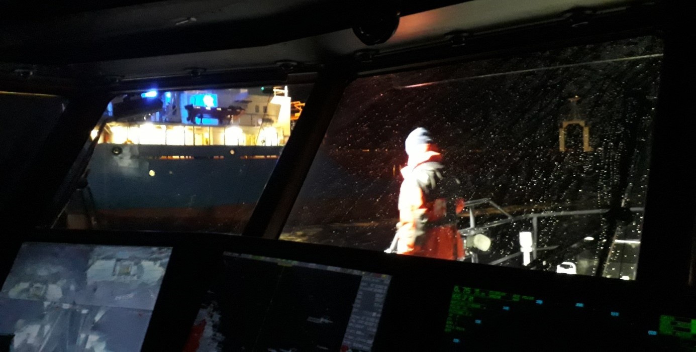
Approaching the vessel in the dark. Photo: V. Popovaitė

The mission itself was the same as the one I observed before. We were to meet a certain vessel out in the sea and pick up its pilot. It meant approaching a moving ship and maintaining a distance so small, that the person could climb down ladders onto our rescue boat. With both vessels still in motion and the presence of rougher waves and wind, this seemed far from a simple feat. While the captain focused on staying as close as possible, a team member helped the pilot outside. All went according to a plan, the person got onboard, the teammate clipped back the side rope, and they both came inside to the bridge, followed up by what seemed to be a casual chat. The captain later commented that, while the level of coordination requires observation, practice, and skill, it would be very different if approaching a stranded ship. In that case, wind would play an important role. As the wind is invisible in the sea charts or the radar, one should observe the waves, the ship’s tilt, and anything that could help deciding the direction of approach. …

Not much can be seen outside when it is dark. The navigation is based on the light- and colour coding. Photo: V. Popovaitė

Virga Popovaitė is a sociology PhD student at Nord University, Bodø. Her research critically investigates the response capacity of Norwegian rescue services in the Arctic through their use of maps. The project interrogates mapping practices, focusing on materiality, localities, infrastructure, and knowledge production. It cuts across sociology, critical cartography, emergency preparedness studies, and science and technology studies. Having a clear footing in a posthumanist tradition, Virga positions herself as a more-than-human sociologist.

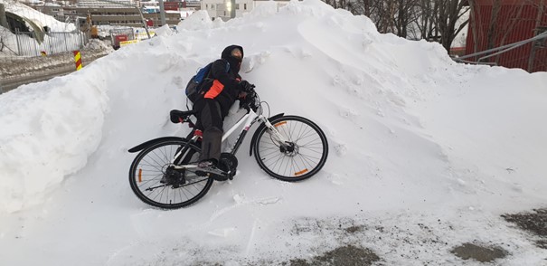
Biking and tilting all year round. Photo: V. Popovaitė

Ring! An Arctic fieldwork story

by Rory Cassie
PhD student, University of St Andrews, currently visiting Nord University

Ring! I slowly opened my tired eyes, fighting against my heavy eyelids as my body tried desperately to resume its once-deep slumber. I winced instinctively as they opened, expecting a few intrusive rays of sunlight to be poking their way around my curtains. Instead, my eyes were met only with darkness. I checked my phone. My screen read 6:00 am. Yep… that seemed about right. I quickly shovelled down some breakfast before showering and getting dressed, making sure to wear thermals as it would be minus 20 degrees Celsius today. Finally, I put on my warmest socks and biggest boots before leaving the warmth of my apartment to brave the snow enroute to the nearby bus stop.

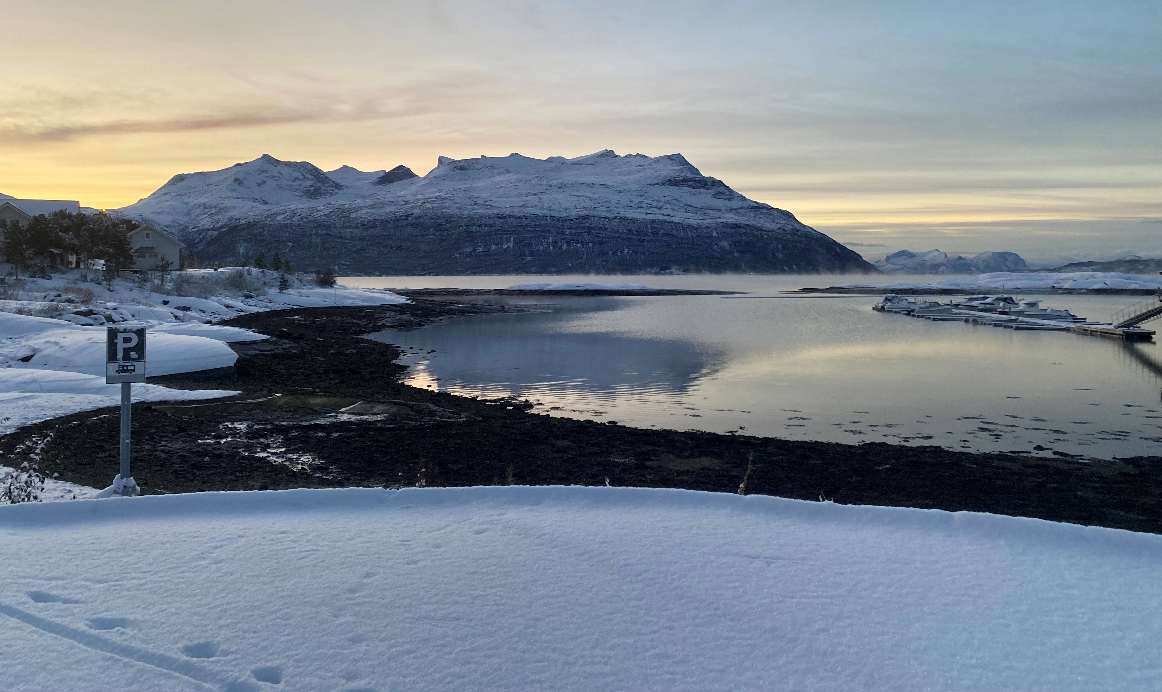
The view from the village bar somewhere up North. Photo: R. Cassie

I would be travelling around 70 km north of Bodø to conduct my first interview as part of my PhD research fieldwork. My ongoing project seeks to gather Sámi perspectives on the recent Truth and Reconciliation Commission, asking whether reconciliation can be engendered alongside continued state infringements upon indigenous rights. For this interview, I would meet with a contact at a Sámi institution located in a somewhat remote hamlet, four hours away by bus. With only one coach running there and back per day, I had to ensure I made that 7 am departure and, more importantly, that I was on the returning bus at 7 pm that evening.

Thankfully, I made it to the bus stop at 6:50. My punctuality was fuelled purely by coffee and my growing nerves. New to fieldwork, and to Norway, I worried about how this interview might go wrong. What would I do if my participant didn’t like my questions? Or if I forgot to cover topics? Even worse, what if my shaky Norwegian betrayed me, turning a mispronunciation into a swear or an insult?

As I gazed upon the Arctic landscape passing by the bus’s window, these questions lingered in my mind. Striking mountains, covered in thick snow, began to give way to an icy fjord, as we neared our destination. Entranced by the scenery, I almost missed my stop and ended up on a ferry. Fortunately, I snapped out of my daze and slammed the stop button. Stepping off the bus and into a foot of snow, I found a strange sense of ease in the fact that there was just one bus home. With the temperature sitting at around minus 20 degrees, chickening out of the interview would mean surrendering my only access to shelter… and nothing cuts through an anxious mind like the potential of freezing to death.

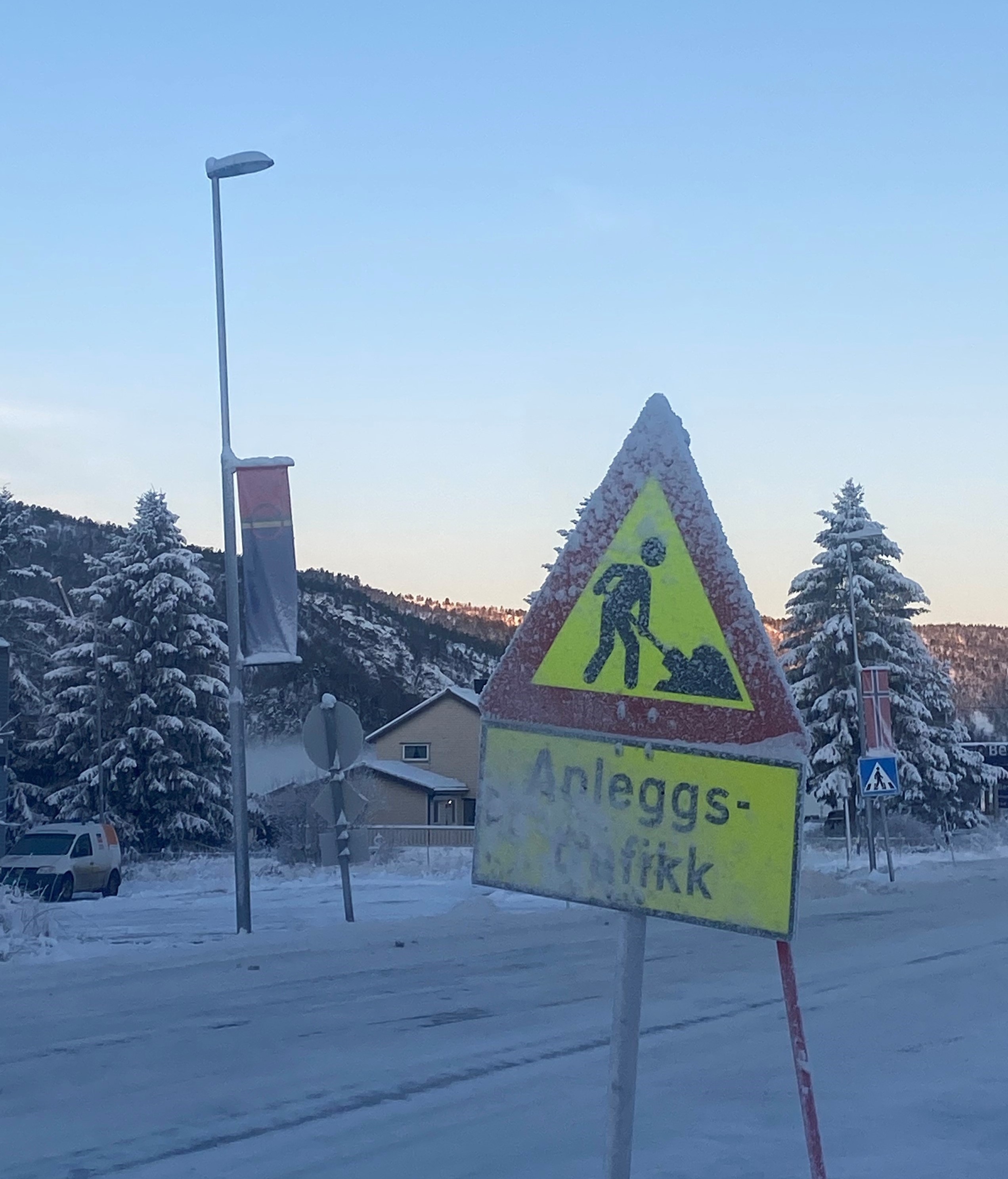
A chilly walk from the bus stop to the Sámi centre. Photo: R. Cassie

I arrived at the Sámi centre, shivering cold, and met with my contact for a pre-interview chat along with some waffles. While I was still tense, my participant was kind and welcoming, considerably easing my nerves. Soon, we ventured to their office, where we began the interview. My fears would prove unfounded, as the interview went well. We spoke for over an hour, discussing my participant’s thoughts on the commission and its findings. I thanked them and got up as if to leave… but where was there to go?? The centre was closing in an hour, and I still had five hours until my bus arrived. After briefly freaking out, my participant kindly advised me that I could take the local school bus to another village, where there was at least a small bar that I could sit in. And so, after trudging through a foot of snow and explaining to the rightfully concerned bus driver why I, a grown adult, wanted to get on a school bus, I made it to the bar. Finally, after dinner, I went home on the 7 pm coach.

I hope this story might ease some common concerns that researchers have surrounding fieldwork while also (slightly paradoxically) outlining what I have found to be the unpredictability of doing research in the Arctic. While I was fixated on worrying about the interview, I forgot to consider the volatile conditions and the rurality of the area I was visiting. These were the factors that would ultimately spring surprises rather than the interview itself. And yet, despite a few hiccups, I would be back tucked up in bed by 11 pm.

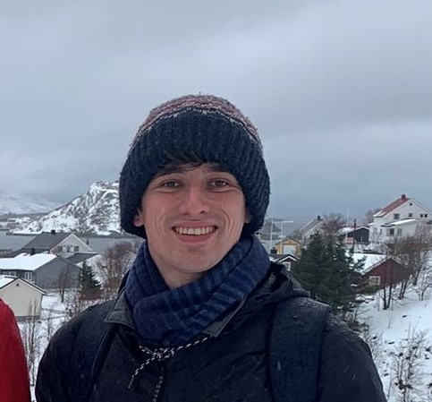
Rory in the North. Photo: R. Cassie

Rory Cassie is a PhD student in Social Anthropology at the University of St Andrews, as well as an associate with the University’s Centre for Minorities Research. He is currently a visiting scholar at Nord University while conducting fieldwork for his research. He seeks to gather Sami’s perspectives on the recent Truth and Reconciliation Commission to question whether and how reconciliation can occur alongside ongoing conflicts between the state and Sámi communities.